
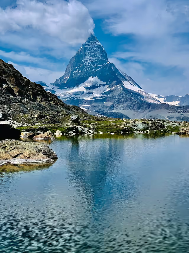
EUROPE / PENNINE ALPS
Matterhorn
Switzerland / Italy
Image: Gianluca Miscione · CC BY-SA 4.0
Cervino cloud — Gianluca Miscione. CC BY-SA 4.0. Display cropped to fit; original image linked above.
Source credit: Gianluca Miscione
Licence metadata checked 2026-09-30. Any adaptation of a ShareAlike image remains under its linked licence.
ELEVATION4,478 m
FIRST ASCENT1865
COVERAGEFeatured profile
The mountain
A pyramidal border summit above Zermatt and Breuil-Cervinia. Four major ridges define its climbing terrain, with separate Swiss and Italian summits.
Country / territorySwitzerland / Italy
Mountain rangePennine Alps
Coordinates45.9763°, 7.6586°
A starting point for research
Routes shown are selected documented routes, not a complete inventory. Check the original references before planning a climb.
Routes shown are selected documented routes, not a complete inventory. Check the original references before planning a climb.
Ascent history
14 July 1865 · Edward Whymper, Charles Hudson, Douglas Hadow, Lord Francis Douglas, Michel Croz, Peter Taugwalder senior and Peter Taugwalder junior.
The first documented ascent followed the Hörnli ridge. Four members of the seven-person summit party died during the descent.
The cited record may omit earlier local or Indigenous ascents.